
Bell Neighbors and Block Sources
A Bell neighbor lookup begins with a block, not a roster. The Assessor map can show a parcel boundary and AIN, while the county recorder can identify named parties only after a name and year are known. A voter file follows a different purpose rule, and a civic group can offer community contact without publishing a member list. Each source below answers a narrower question than “who lives nearby.”
| Source | What It Shows About a Block | Access |
|---|---|---|
| Assessor map and parcel layer | Adjacent boundaries, AIN, situs, and agency clues | Free map search; owner offline |
| Los Angeles County Assessor | Parcel traits and assessment facts | Address or AIN; owner by contact or counter |
| RR/CC recorded instruments | Named grantors, grantees, dates, and legal descriptions | Norwalk name/year index; copies paid |
| Voter information | Registration data only through an approved route | Authenticated self-check or purpose-restricted request |
| Bell Neighborhood Watch | Civic meetings and block-watch contact | Public program; no member roster |
Parcel evidence can show where a neighbor’s lot sits and an ownership request can identify a named owner, but neither proves who occupies a dwelling. The Bell neighborhood-watch program shows another kind of local connection: a public meeting channel without a public household directory. Keep the role of every result visible in your notes.
Mapping Bell Neighbors by Parcel
The LA County GIS-NET tools can search an AIN, address, or intersection and provide identify, selection, query, and buffer controls. The Assessor map supplies parcel polygons and situs details. These tools are useful for walking outward from one known Bell address, but they create spatial context rather than a names list.
- Enter the complete Bell address in the Assessor Portal or GIS-NET and record the situs address and ten-digit AIN.
- Select the starting parcel, then click each touching or nearby polygon. Save each AIN separately instead of treating the block as one record.
- Use the parcel and agency fields to check whether the map location is inside Bell. GIS-NET county zoning is principally for unincorporated territory, so it is not Bell zoning.
- For each candidate parcel, request owner information from the Assessor through its contact or counter route. The public web result omits the owner name.
- When the goal becomes a full named-street chain, move to the Bell street directory workflow rather than extending the block map into a roster.
A buffer can show a useful radius, but a buffer is not a legal neighborhood line. Preserve the map date, typed address, AIN, and any visible agency label so a later custodian request can be checked against the same starting point.
Bell Owner and Occupant Clues
The parcel owner and the person who occupies a dwelling are separate record roles. A company or trust may appear as owner. A mailing address may be a correspondence location. A deed identifies a transaction party, not every person in a household. The Assessor’s public result intentionally leaves owner and mailing-address fields out, so a website that promises a free Bell neighbor roster is collapsing several distinct systems.
The Treasurer-Tax Collector’s payment-history search uses an AIN and returns the last three fiscal years. That can help place a parcel in a time sequence, but it does not turn a payer into a neighbor. Likewise, a permit or code case may name an applicant, owner, or contractor while saying nothing about daily occupancy. Use those results as clues, not conclusions.
- Parcel
- A mapped unit of land identified by an AIN and situs information.
- Situs
- The physical location assigned to a parcel.
- Mailing address
- A destination for correspondence that may differ from the physical parcel.
- Occupant
- A person connected with use of a place; this role is not established by an owner record alone.
Bell Block Flow: Address to AIN
A repeatable block lookup keeps the evidence in the same order each time. Start from the address, then move to the mapped parcel, then to a named custodian. Do not reverse the process by guessing a person from a ZIP code or a map polygon.
- Address: write the complete street address, delivery city, and 90201 ZIP exactly as shown.
- AIN: use the Assessor search or map to capture the ten-digit parcel key and situs.
- Adjacent parcels: select nearby polygons in the map and keep one line of notes per AIN.
- Custodian: request owner information from the Assessor, deeds from RR/CC, or permits from Bell Community Development.
- Verification: compare legal description, recording year, city line, and record role before combining clues.
The chain is address → AIN and parcel → custodian request → record role. It is a research trail, not a public block directory. If the typed address and map disagree, keep both values and ask the Assessor instead of silently changing the location.
Bell Voter Limits for Neighbor Research
California My Voter Status is an authenticated self-lookup. It asks for first name, last name, date of birth, and a California driver-license or identification number or the last four digits of a Social Security number, with conditional alternatives. It can show the authenticated voter registration status, location, party preference, language preference, polling information, and ballot-status details.
That private check cannot be turned into a public list of Bell neighbors. Elections Code §§2194 and 18109 restrict access and use, and Government Code §7924.000 protects specified fields. County requests have separate purpose, fee, identity, and use rules. A valid request does not make a residence address proof of continuing physical presence, and participation history never reveals a ballot choice.
California Safe at Home also gives qualified participants a substitute mailing address and confidential voting route. A protected address should not be reconstructed from parcel, voter, delivery, or civic clues. A lawful block search respects the fact that absence from a public result can reflect a protection rule rather than a missing person.
Bell Neighborhood Watch Contact
Bell’s Neighborhood Watch program is a community channel, not a resident database. Meetings are held on the fourth Thursday at 6 p.m. at Bell Community Center, 6250 Pine Avenue. Residents may form groups and select captains or coordinators, but the research found no public member directory. The city’s budget reports 12 meetings in 2024-25 and quarterly Business Watch for the industrial area.
Bell Neighborhood Watch
Bell Community Center
6250 Pine Avenue
Bell, CA 90201
Fourth Thursday, 6 p.m.
323-585-1245
Sgt. J. Baltazar
Police nonemergency
The public meeting route can help someone reconnect with a civic group or learn how a block-watch program operates. It cannot confirm every household, disclose a private roster, or replace an official records request. For city files, use the Bell City Clerk CPRA form with a focused record description.
Bell Permit Clues Around a Block
Building and Safety, Planning, and Code Enforcement can hold address-keyed material such as permits, plans, inspections, applications, or code cases. The OpenGov permit landing page did not expose a stable public search during research. Request a specific permit, inspection card, plan, certificate of occupancy, or code case by complete address, AIN, record type, and date span through Community Development staff or the Bell CPRA process.
Permit records can identify an applicant, owner, contractor, project, or inspection event. They do not prove that a named person lived in the building. Complaints and law-enforcement material may also contain protected or exempt information. A narrow request gives the custodian a usable target and reduces the risk of asking for a household roster that the city does not maintain.
For a historic block, pair a released permit with the parcel map, the deed’s legal description, and the 1922 Sanborn context. The building record says what work was recorded. The map says what footprint was present. The deed says who held an interest. Those are three different pieces of a Bell neighbor timeline.
Official Bell Sources and Commercial Tools
Official sources are narrow but traceable. A commercial neighbor tool may combine public and commercial data, lag behind a move, merge names, or present an address without showing its source. The category can be useful as a lead for personal curiosity, but it cannot replace the office that holds the underlying record.
| Question | Official channel | Commercial category |
|---|---|---|
| Where is the adjacent parcel? | Assessor map or GIS-NET | May show a map without custodian context |
| Who is a named owner? | Assessor contact/counter, then RR/CC name/year research | May merge names or use old data |
| Is a person registered? | Authenticated self-check or approved voter request | Cannot lawfully turn restricted voter data into a roster |
| What civic channel serves the block? | Bell Neighborhood Watch and City Clerk | May not verify local membership |
California bizfile, license boards, and court or custody portals can show an affiliation or record event, but they are not neighbor lists. Keep the role in the note: an agent, licensee, litigant, or custody result is not automatically a Bell resident.
Bell Neighbor Records Have Different Roles
State and federal lookups can appear near a block search without describing the block itself. A California bizfile result may list an entity, agent, officer, manager, or address as filed. A license search may show an address of record. A court, CDCR, or federal locator result has its own custody or case meaning. None should be rewritten as a current home address.
The image from the California bizfile program page belongs to this distinction.
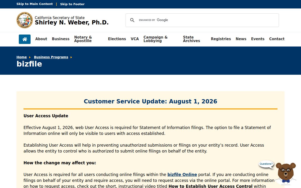
Business filings can support a name-variant check or explain why an address appears in a record. They do not turn an entity filing into household evidence. Use the same restraint with a professional license, court party, or tax record.
The CDCR CIRIS locator supplies state custody fields such as name, CDCR number, location, admission, commitment county, and parole-eligible month or year. The Federal Bureau of Prisons locator covers federal custody fields and generally reaches back to 1982. A county jail lookup is a separate LASD channel. These are status records, not block records.
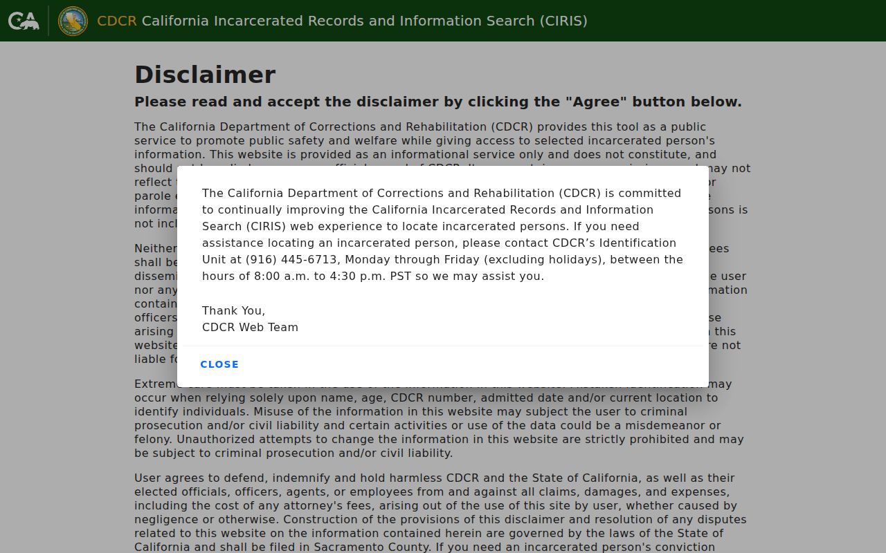
The custody image reinforces a simple rule: search the correct level, verify live status, and never infer that a result describes a neighbor.
California Megan’s Law is also limited to statutorily displayable categories and carries a public-safety disclaimer. Some entries show a full address, some show only a ZIP, city, or county, and some are not public. A registry result must not be copied into a block list.
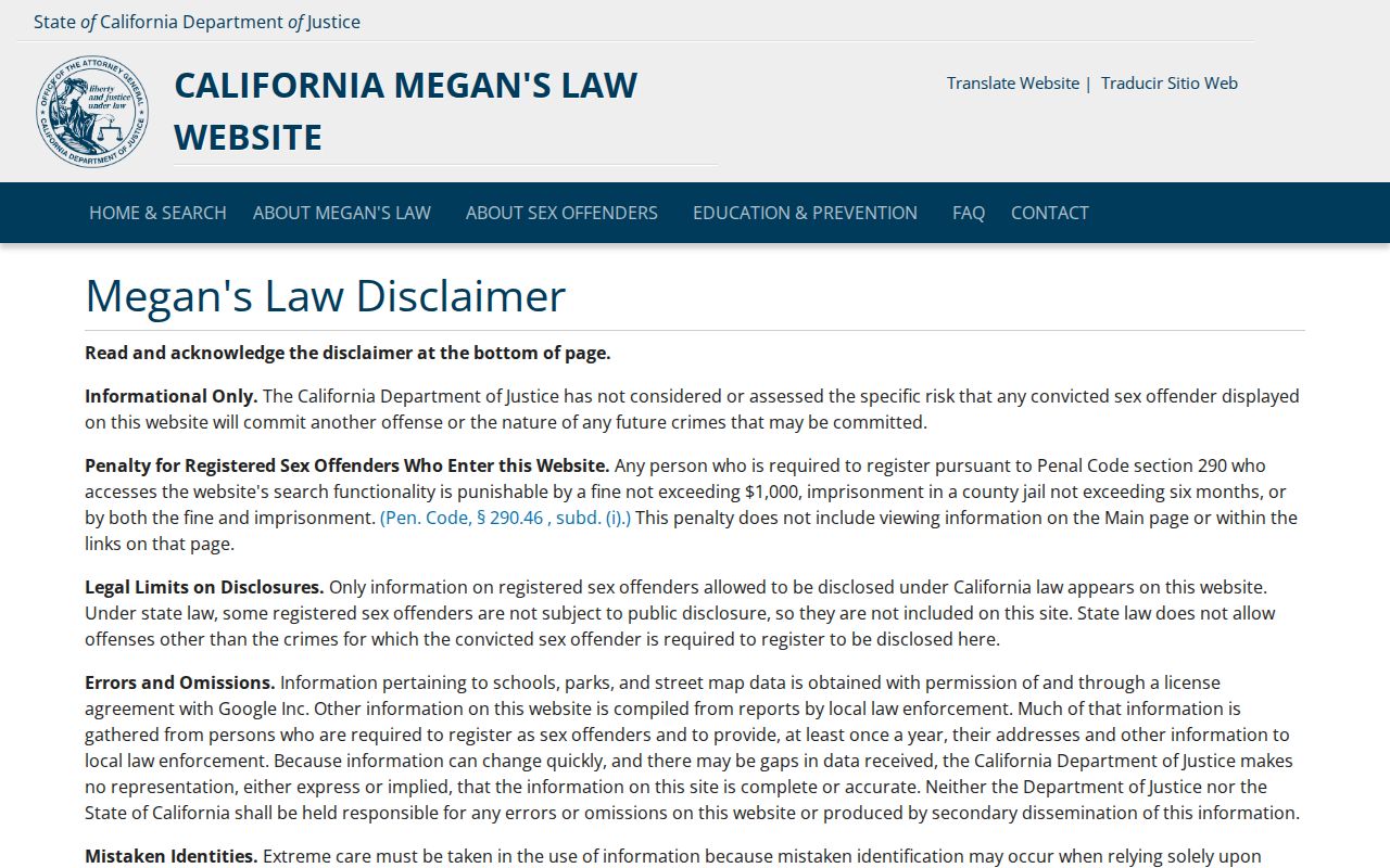
The registry image is a reminder to use current official data only for the stated public-safety purpose and to respect Penal Code §290.46(j) limits.
The federal and state tools below belong to distinct custodians. Their presence in a search trail should prompt role-checking, not a wider claim about who lives on the block.
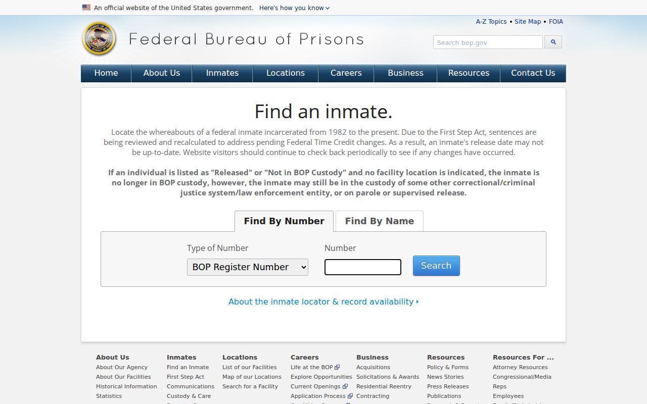
The federal locator image is included as a source reminder only. It does not establish a Bell address or a neighbor relationship.
Privacy Limits on a Bell Neighbor Lookup
Household members, utility customers, delivery data, and DMV personal addresses are not ordinary public block fields. Protected participants in California Safe at Home may use a substitute mailing address and confidential voting. A parcel owner may be absent, an old record may lag, and a public result may omit a protected person. Those limits are part of the evidence, not a reason to fill gaps with guesses.
California’s DROP system gives residents a centralized route for deletion requests to covered data brokers. The California DROP page explains the request process. It does not erase a county deed, change a parcel record, or authorize a private person to reconstruct a protected address.
The current privacy layer matters for neighbor research because records change at different speeds. An old business address, a past deed, a voter move, and a current parcel may all carry the same name while describing different times or roles.
The California DROP data-broker deletion guide is the source represented in the image below.
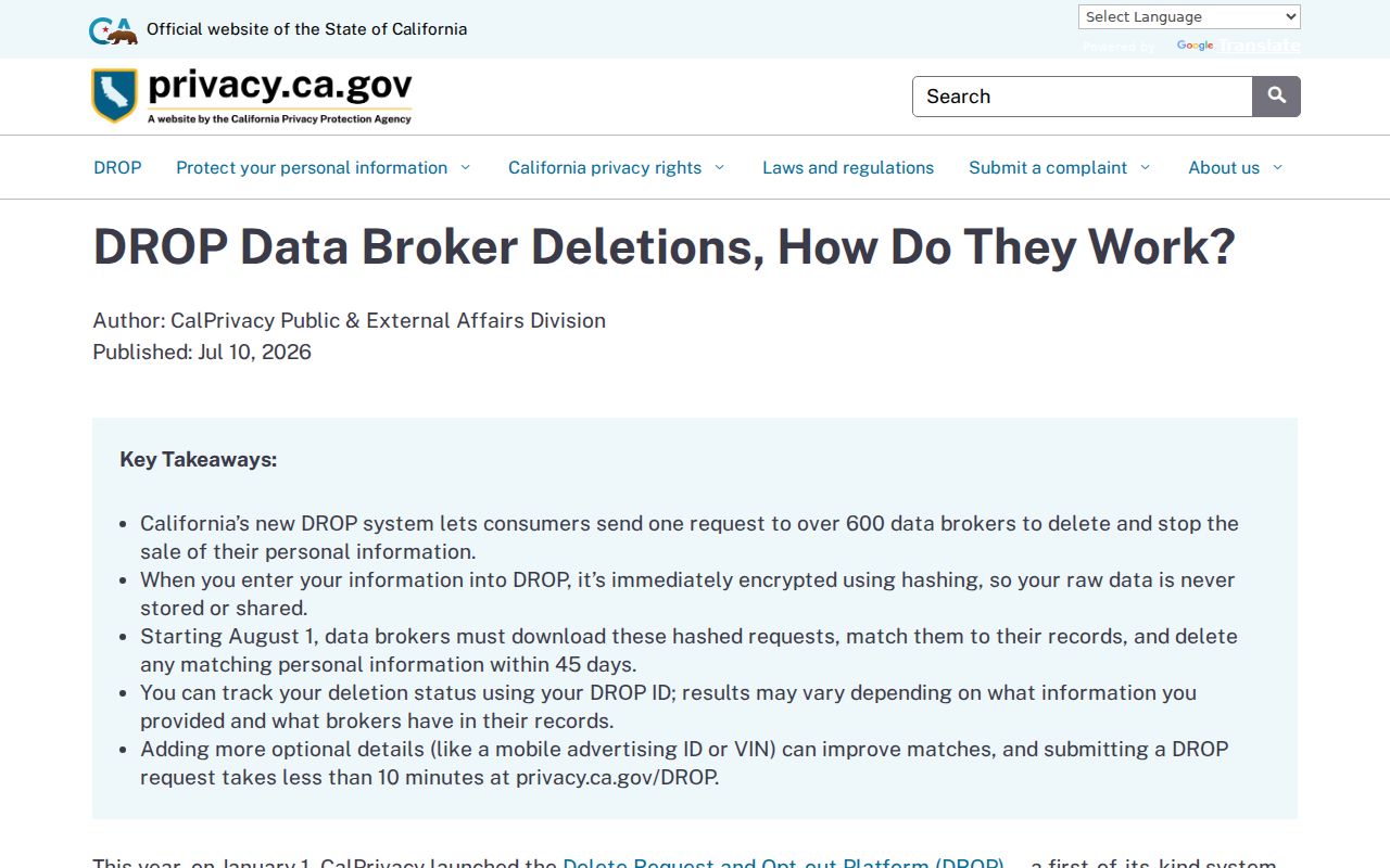
The privacy image points to a resident-control tool, not a search result. Keep deletion and confidentiality requests with the covered business or public custodian that controls the information.
Lawful use. Bell neighbor research is appropriate for block context, reconnection, genealogy, and personal safety awareness. Do not use parcel clues, names, or public records to stalk, harass, intimidate, track, or harm another person.
Two-Part Bell Geography and Neighbors
Bell covers 2.81 square miles in two parts: Central City and Cheli. The Los Angeles River and I-710 separate the areas, while the city remains incorporated in Los Angeles County. Central City generally sits between Randolph Street and Florence Avenue. Cheli is the industrial area north and east of the river and freeway. The compact shape makes an exact parcel and city line more useful than a broad delivery label.
ZIP 90201 reaches beyond Bell into substantial Bell Gardens and Cudahy delivery areas. A neighbor question framed only by ZIP can therefore mix municipalities. Use the complete address and AIN to decide which map, city clerk, county office, or civic program applies. The city’s official neighborhood-watch channel is local to Bell, while the parcel and voter custodians are county or state systems.
Bell’s two-part geography is a useful local story: map context, municipal authority, and delivery geography overlap without becoming the same thing. Keep them as separate layers in every neighbor note.